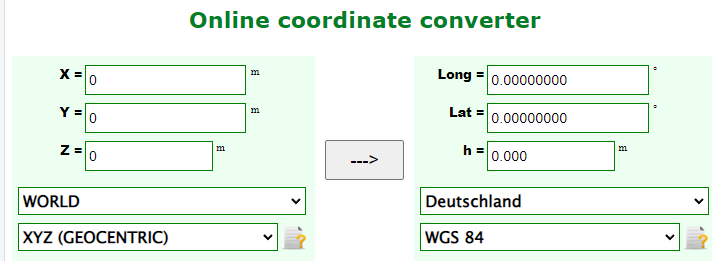
Left side pick: WORLD + Cartesian (XYZ) and put your X Y Z values
Right side pick: Deutschland + WGS84 and the results will show up here :)
Then copy back this result to the PI and you're good to go :)
Lat Lon H is the order
Registration:
Send a mail to: contact@centipede.fr with the following details:
Hello,
I'd like to declare my base station.
* Mount name: ~4 characters and uppercase! (check that it doesn't exists in caster.centipde.fr * Location: ~Country, City~
* Owners name: ~Your name~
* Coordinates after transformation: ~What you've just calculated for example: 45.9000000 20.00000000 132.000~
* Equipment used: Raspberry Pi 4 + Ardusimple Zed F9P + White antenna
Regards,
1-2 pictures of the antenna placement
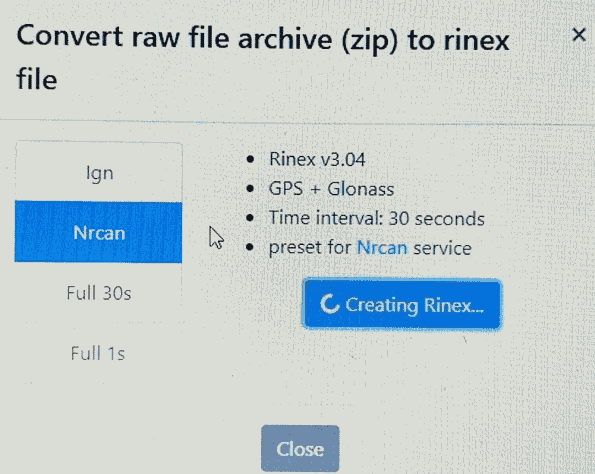
Full output zip attached.